
An attorney required technical assistance to determine whether a client’s property affected other properties owned by the opposing party. The property was in a fully urbanized area, but its history traced back to formerly rural parcels that were part of an in-kind partition covering more than two million square meters.
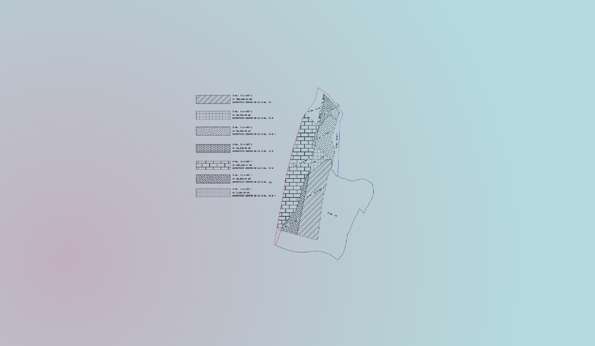
Using the supplied location of the property of interest and the potentially affected properties, the team defined the area of influence for the cadastral investigation. After completing the research, all adjoining properties were reconstructed and a base mosaic was assembled. The original locations of the parent parcels were compared with recent technical surveys as a validation and quality-control method.
A mosaic representing present conditions was produced entirely through cartographic methods, reducing cost and execution time while maintaining appropriate fidelity to both cadastral and physical conditions. It made it possible to determine whether the property of interest and the potentially affected properties conformed to their cadastral history.