
LanDesk / Blog
Ideas for clearer decisions.
Practical notes on property, cadastre and fieldwork.
Opiniones · July 13, 2026
Before buying land
Five checks that can reduce uncertainty before you commit.
Opiniones · July 12, 2026
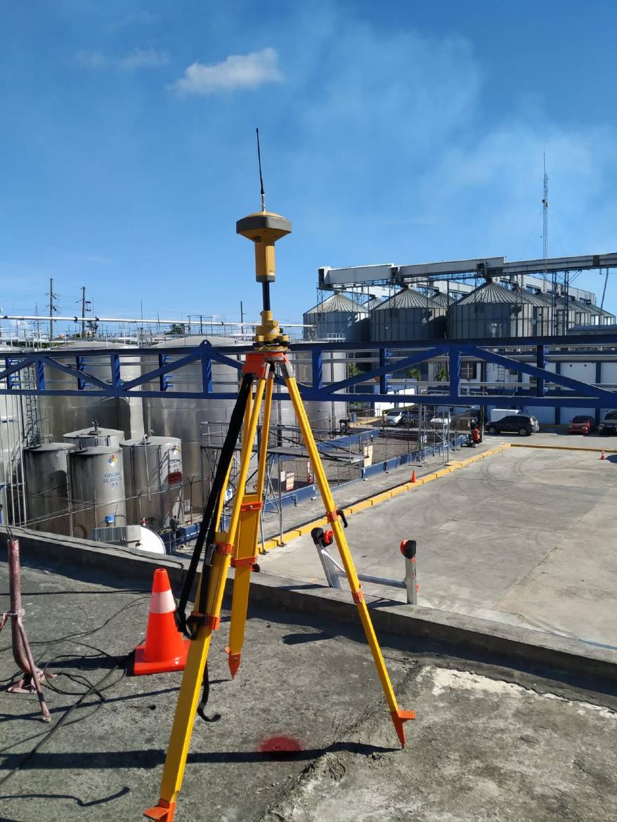
When you need a topographic survey
What it reveals and why it matters before design or construction begins.
Casos de estudio · October 1, 2021
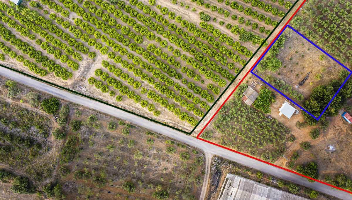
Where is the remainder?
The elements needed to locate a remainder awarded by judgment when no cadastral plan exists.
Casos de estudio · October 1, 2021
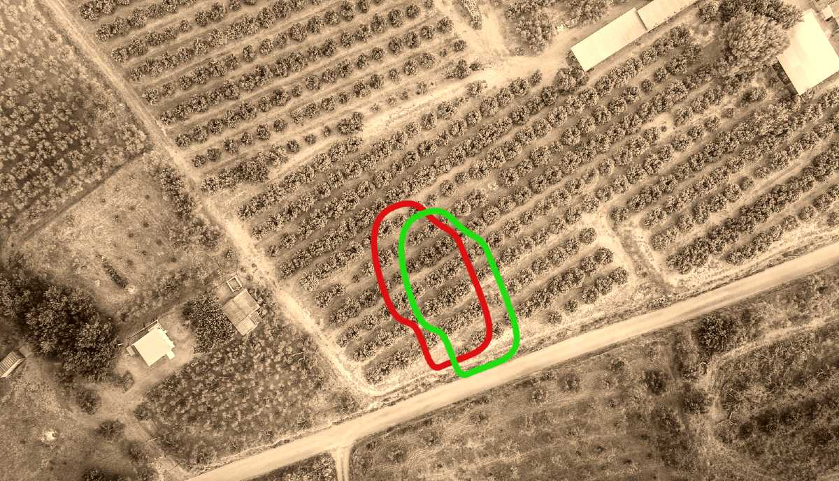
A step to the side, please
When relocating a public path becomes part of titling a time-sensitive real-estate development.
Casos de estudio · October 1, 2021
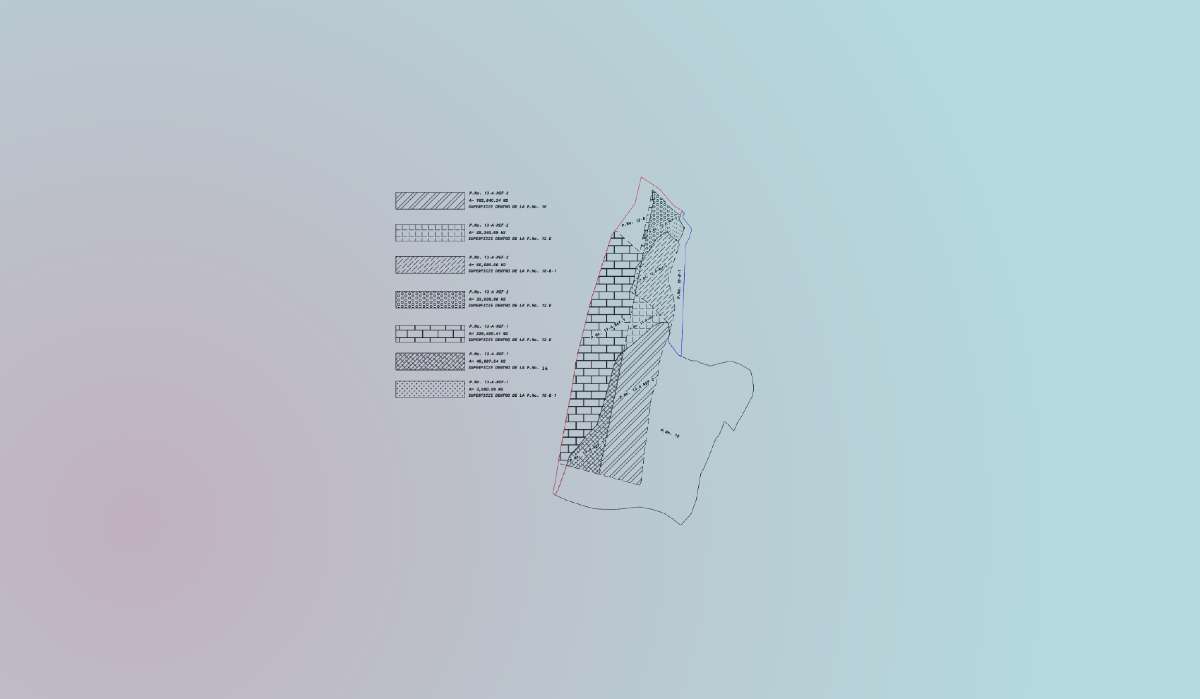
Setting out a location with greater precision
Knowing a location is not the same as marking it on the ground with the precision required for cadastral surveys.
Casos de estudio · October 1, 2021
Reconstructing the past through the present
Determining whether an urban lot conforms to its cadastral history through cartographic reconstruction.

Casos de estudio · October 1, 2021
Rental price study for a selection of homes in a target area
Processing, analysis and visualization of rental prices from a large socioeconomic and technical data survey.

Novedades · October 1, 2021
New Ministry of Housing and cadastral regularization
Law 160-21 authorizes the Ministry of Housing to promote cadastral regularization and property titling.

Opiniones · October 1, 2021
Positional cadastral designation
How the positional cadastral designation is calculated and used to locate nearby parcels.

Opiniones · October 1, 2021
Boundary demarcation vs. parcel regularization
What is the difference between boundary demarcation and parcel regularization?
Opiniones · October 1, 2021
How to identify an institutional area
Notes on the process for determining whether a property is an institutional area.

Opiniones · October 1, 2021
What is a cadastral designation?
The identifier that connects each parcel, its title and its survey plan.