
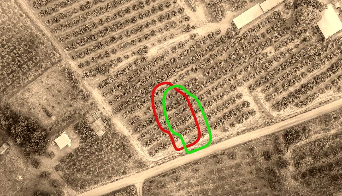
A real-estate asset holding company planned to regularize several adjoining properties that functioned as a single property on the ground. One of them, located in a mountainous and vegetated area covering nearly one million square meters, did not have its exact boundaries marked with sufficient precision.
Starting from a properly georeferenced digital representation of the polygon shown on the cadastral plan, an optimized method was designed to minimize the field time required from the support and trail-clearing crews and the surveying crew.
The parcel vertices were set out according to the historical cadastral plan using an agile methodology that kept the total high-precision field-survey time to the minimum possible.