
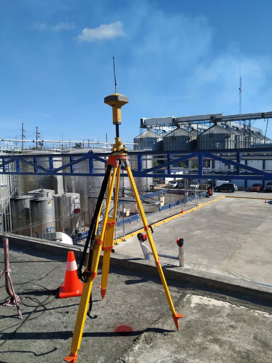
A topographic survey represents the position and elevation of existing features on a site. It gives designers reliable information about real conditions.\n\nArchitects and engineers use it to study slopes, drainage, access, earthworks and the relationship between a project and its surroundings.\n\nIt is also useful before buying, dividing or developing property. The right scope depends on the goal, so the first conversation should establish exactly how the data will be used.
OpinionesJuly 12, 2026
When you need a topographic survey
topografíalevantamiento topográfico
Related service
Survey
Measurement and flat representation of land and built features.