
The problem
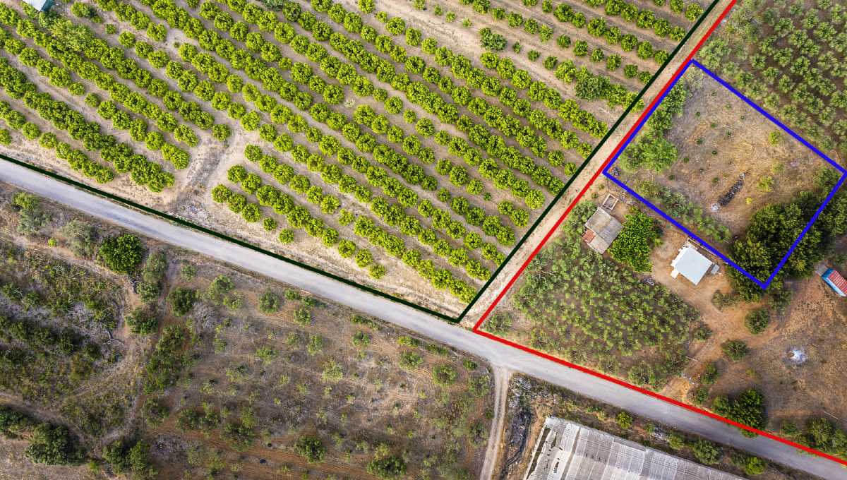
The representative of a party awarded a property by judgment needed to determine its location, shape and boundaries. The judgment identified adjoining owners and a total area, but no cadastral plan existed for either the portion or its parent parcel.
The solution
After reviewing the history of cadastral registration in the area and building a base parcel map, the team designed a methodology for researching plans, titles, files and recordable documents. The information was catalogued and referenced to identify distinctive elements and eliminate duplicates, then georeferenced and visualized in a geographic information system (GIS).
The result
The parent parcels and the awarded portions within them were delimited, including the derived properties and those affecting the portions. The result was delivered as a set of queryable GIS maps.